A visual tool for Forest Fire Risk Assessment
Data Science & AI|Luis A. Flacke|December 19, 2024
What is the final project useful for?
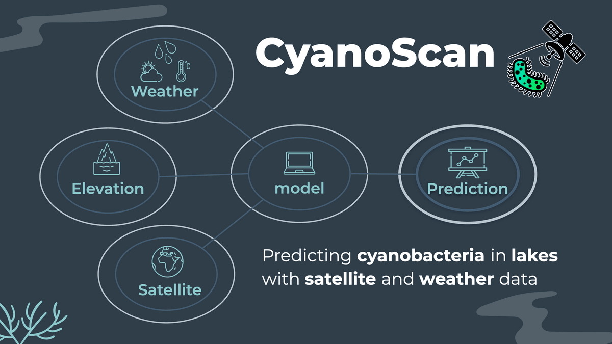
This project consisted in assessing and predicting wild fire risk in Canada. We merge 20 years of thermal satellite data from NASA and weather data from the Canadian Center for Climate Services. An XGBoost model was trained to predict the fire risk one month ahead on a rasterized map. A self-made Fire Index was implemented for interpretability.
What does the final project look like?
